

04
Libya is characterized by its vast expanse, ranking as the fourth-largest country in Africa by area.
1,774,440 km²
1900 km
This area begins from the seacoast and ranges in width from 5 to 25 kilometers along the Libyan coast. It widens in the western part of the country, reaching up to 120 kilometers as seen in the Jafara plain, and narrows to less than a kilometer, as in the area of Tolmeitha near Benghazi. The annual rainfall in this area ranges between 200 to 250 millimeters. This strip is characterized by a biodiversity dominated by the Mediterranean pattern, with numerous examples of semi-desert biodiversity in both plants and animals. It also hosts the majority of Libya’s economic and industrial activities, and is home to more than half of the country’s population, creating pressure on the marine and coastal environment. The Mediterranean climate prevails in this area, with wet winters and dry summers. This strip receives substantial rainfall, with dry years occurring occasionally. It includes several wetland areas such as salt flats, marshes, and salt lakes, as well as sand dunes. The area consists of plains, separated by semi-desert regions.
Mountain ecosystems are located in the western mountains of Libya, such as the Nafusa Mountains and the Green Mountains in the eastern part of the country, which is the most diverse region in terms of plant life in Libya. The rest of the western mountains range from low-altitude forests to plant life found on mountain peaks. Only 0.01% of these land systems (217,000 square meters) contain forests, with an annual rainfall of approximately 200 to 300 millimeters. However, these forests should more accurately be referred to as “Mediterranean coastal shrubs.” The most common plants in these mountain ecosystems in Libyan lands are Mediterranean cypress trees, eucalyptus trees, Indian or Persian lilacs, and olive trees.
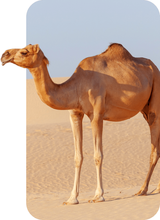
This area begins from the arid or semi-arid region, which lies directly south of the mountain region and runs parallel to it. The average rainfall here ranges from 50 to 150 millimeters. This area is often used for grazing and some agricultural activities conducted by local residents in certain valleys. The Libyan desert region can generally be divided into:
- Desert Plateaus: The most notable are the Hamada al-Hamra plateau and the Hamada Tengert.
- Desert Depressions: These include the Jaghbub depression, the Awjila, Jalu, and Ghat depressions, and the Murada depression.
- Desert Basins: Such as the Ubari basin, the Murzuq basin, and the Kufra basin.
- Mountains: These include the Suda mountain, the Hurooj mountains, the Tibesti mountains, the Awenat mountains, and the Akakus mountains.
- Dry Wadis: Such as the Wadi al-Shati.
- Sandy Flats and Sebkhas: Like the Sea of Sand and the Qatus Sebkha.